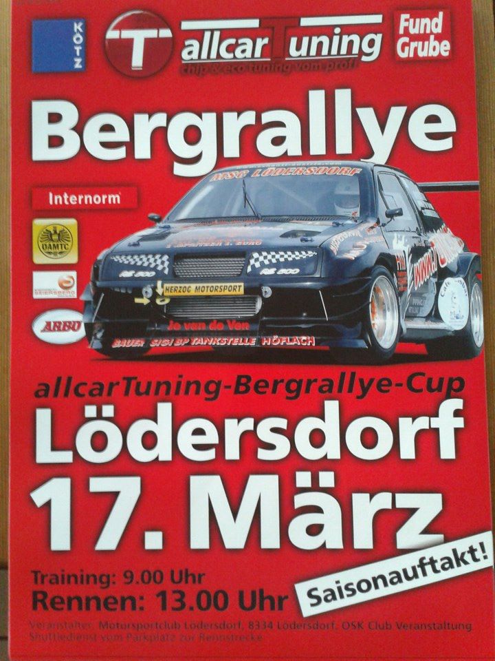
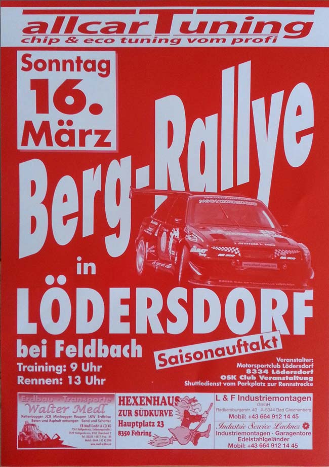
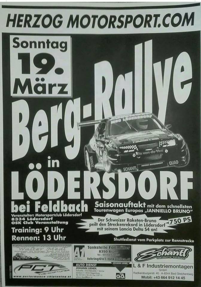
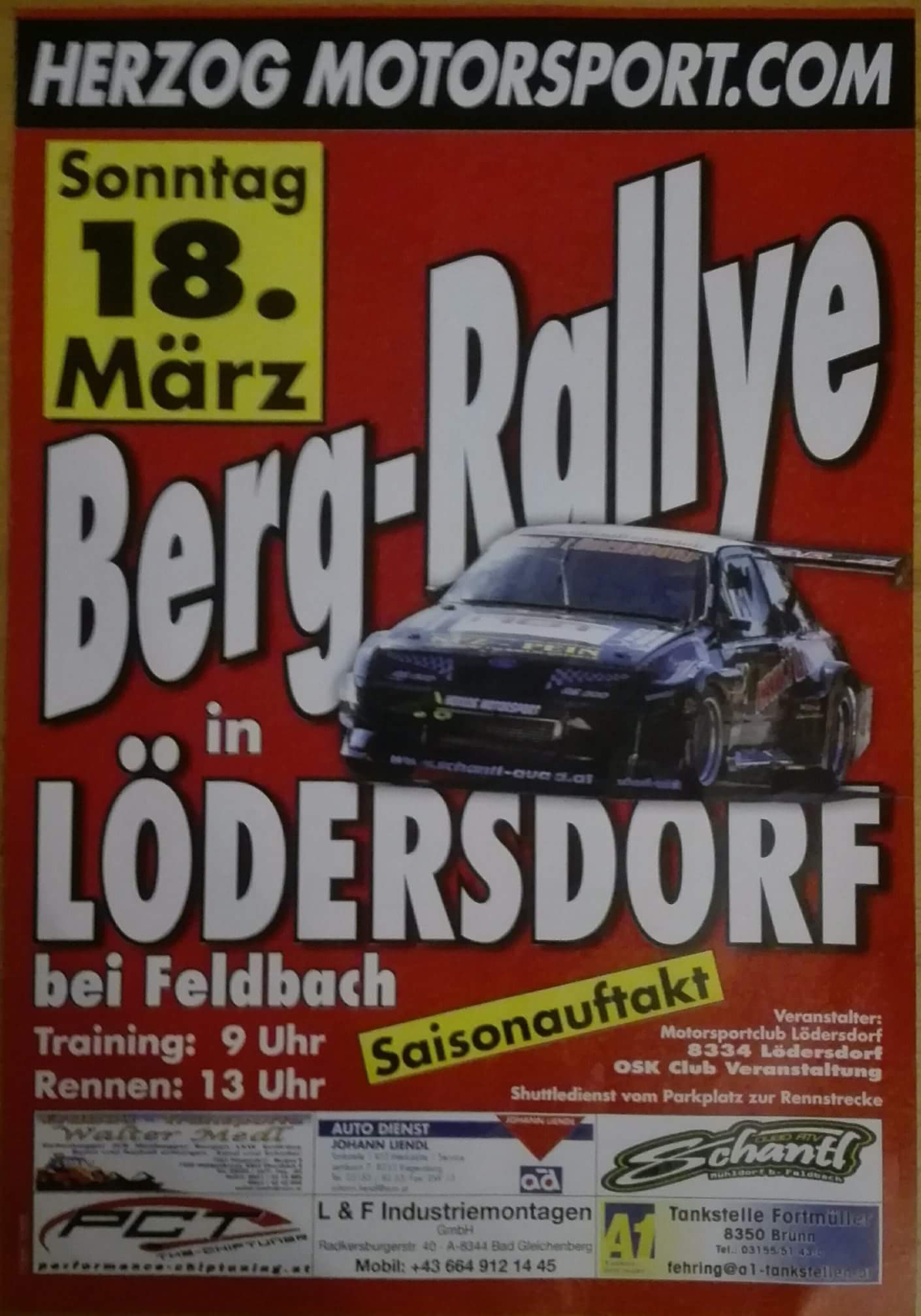
| Title: | Bergrallye Lödersdorf |
| Place: | Lödersdorf |
| Tracklength: | 1100 metres |
| Elevation change: | 85 metres |
| Altitude finishline: | 370 metres |
| GPS coordinates: | 46° 58′ 13.8″ – 15° 58′ 19.1994″ |
| Website: | |
| Fastest Time: | 1:24,989 (2 runs) |
| Average Speed: | 93,19 km/h |
Is there missing or incorrect information on this page? Please let me know in the comments below, or send me an email.
| Date | Winner | Car | Time | Final | |
|---|---|---|---|---|---|
| 20/03/2005 | Bruno Ianiello |  | Lancia Delta S4 | 1:31,26 | Results |
| 19/03/2006 | Hans-Peter Laber |  | Ford Escort Cosworth | 1:33,19 | Results |
| 22/04/2007 | Felix Pailer | | Lancia Delta Integrale | 1:30,12 | Results |
| 16/03/2008 | Rupert Schwaiger | | Porsche 911 Turbo | 1:30,03 | Results |
| 15/03/2009 | Rupert Schwaiger | | Porsche 911 Turbo | 1:30,31 | Results |
| 21/03/2010 | Andreas Marko | | Audi A4 STW | 1:28,23 | Results |
| 13/03/2011 | Felix Pailer | | Lancia Delta Integrale | 1:29,28 | Results |
| 11/03/2012 | Rupert Schwaiger | | Porsche 911 Turbo | 1:30,11 | Results |
| 17/03/2013 | Rupert Schwaiger | | Porsche 911 Turbo | 1:32,00 | Results |
| 16/03/2014 | Karl Schagerl | | Volkswagen Golf Rallye | 2:14,15 | Results |
| 22/03/2015 | Karl Schagerl | | Volkswagen Golf Rallye | 1:27,72 | Results |
| 13/03/2016 | Rupert Schwaiger | | Porsche 911 Bi-Turbo | 1:30,939 | Results |
| 19/03/2017 | Karl Schagerl | | Volkswagen Golf Rallye | 1:26,729 | Results |
| 25/03/2018 | Stefan Wiedenhofer | | Mitsubishi Mirage | 1:30,916 | Results |
| 24/03/2019 | Karl Schagerl | | Volkswagen Golf Rallye | 1:24,989 | Results |
The Lödersdorf Bergrallye is traditionally the openingsrace of the season and it is also the shortest course. It is located in the southeast of the Steiermark region, which in turn is in the south east of Austria. Geologically the region is part of the Oststeirisches Hügelland. This is not considered part of the Alpine mountains but rather a Pre-Alpine Hill Landscape. The area is characterised by long, round hillsides called “Riedel” in Austria. These long hillslides were developed by not so fast moving waters that flow southwards. The two major rivers are the Mur, which forms the border between Austria and Slovenia, and the Raab, which flows just south of Lödersdorf.
Lödersdorf is just a few kilometres away from the three nations point between Austria, Hungary and Slovenia. This point is covered by a large international nature park called the Naturpark Raab-Őrség-Goričko. The Slovenian and Hungarian parts are each almost three times the size of the Austrian part, as the Austrians have mostly redeveloped the landscape for agriculture. Near Mogersdorf in the park, 25 kilometres to the east of Lödersdorf, a major battle between Habsburgs and Ottomans took place. In 1664 the Ottomans led an advance into Austria but were thwarted here by a much smaller Habsburg army. You could say the war ended in a draw as it took another 20 years before the Habsburg empire could force its way into Ottoman Hungary. Outside of Austria The Battle of Mogersdorf is better known as the Battle of Saint Gotthard, named after the larger Hungarian town of Szentgotthárd, which is just over the border. Szentgotthárd or Saint Gotthard is named after the large abbey of the town. The abbey church was rebuild in the 18th century in a beautiful Barock style.
The southeast of the Steiermark is full of small villages with a few hundred inhabitants. The largest of these being Feldbach, some 10 kilometres to the west, which still has only 5000 inhabitants. The largest major city is Graz, 40 kilometres to the west. Within a few kilometres north and south are also the Bergrallyes of Auersbach and Gossendorf.